Some cities are explained by a map, others by a wall. Campeche belongs to the second kind. Its historic center did not grow around a square or along a river but inside a stone hexagon that for two centuries separated everyday life from the open sea and everything that arrived with it. That hexagon is still there: you walk on top of it, cross through its gates, dine beside its stone curtains. This is the guide to reading it in full, bastion by bastion.
If you are after the story of the sieges that made it necessary, we tell it in Campeche, a pirate-proof city. Here the protagonist is the monument itself: how it was built, what still stands and how to walk it today.
From sacked town to stone hexagon
The wall was born of a wound. In February 1663 the corsair Mansvelt sacked the town, and the 1685 attack by Laurens de Graaf, the feared Lorencillo, left it devastated. As early as 1680 the captain general of Yucatán, Antonio de Layseca y Alvarado, had proposed to the Crown that the port be walled on the model of Cartagena de Indias; the disaster of 1685 turned the proposal into an emergency. On January 3, 1686, before the assembled authorities and townspeople, the first foundations were laid.
The works were financed in a very Campeche way: a collection among residents, contributions from the Crown and a tax of half a real on every fanega of salt exported through the port. Eighteen years later, in October 1704, military engineer Jaime Franck closed the hexagon by finishing the last curtain and the bastion of Santiago. His successor, the Frenchman Louis Bouchard de Becour, proposed around 1710 a long list of improvements, moats, earthworks and parapets among them, most of which were never carried out: the wall, as it stood, already deterred well enough. Campeche thus became one of the first fortified strongholds in the Americas. New Spain walled only two of its cities, Campeche and Veracruz; of the Veracruz wall, demolished during the Porfirian modernization of the port, barely one bastion survives, which makes Campeche the only city in Mexico that still preserves its walled enclosure in recognizable, walkable form.
The anatomy of a stronghold
The enclosure took the shape of an irregular hexagon roughly two and a half kilometers around, with walls averaging about eight meters in height and more than two and a half meters thick at the base. At each angle stood an artillery bastion; between them ran the curtains of wall; and by the eighteenth century as many as 91 cannons were mounted across the ensemble. Four gates connected the town within the walls to the world outside: the Sea Gate toward the wharf, the Land Gate toward the royal road, and the Guadalupe and San Román gates toward the neighborhoods beyond the walls that still carry those names.
The system was completed outside the enclosure, in the late eighteenth century, with hilltop fortresses: the Fort of San Miguel and the Fort of San José el Alto, which today guard two of the state's most important museums. A detail few visitors know: all eight bastions bear the names of saints, a small stone rosary encircling the town like a protective prayer.
The bastions, one by one
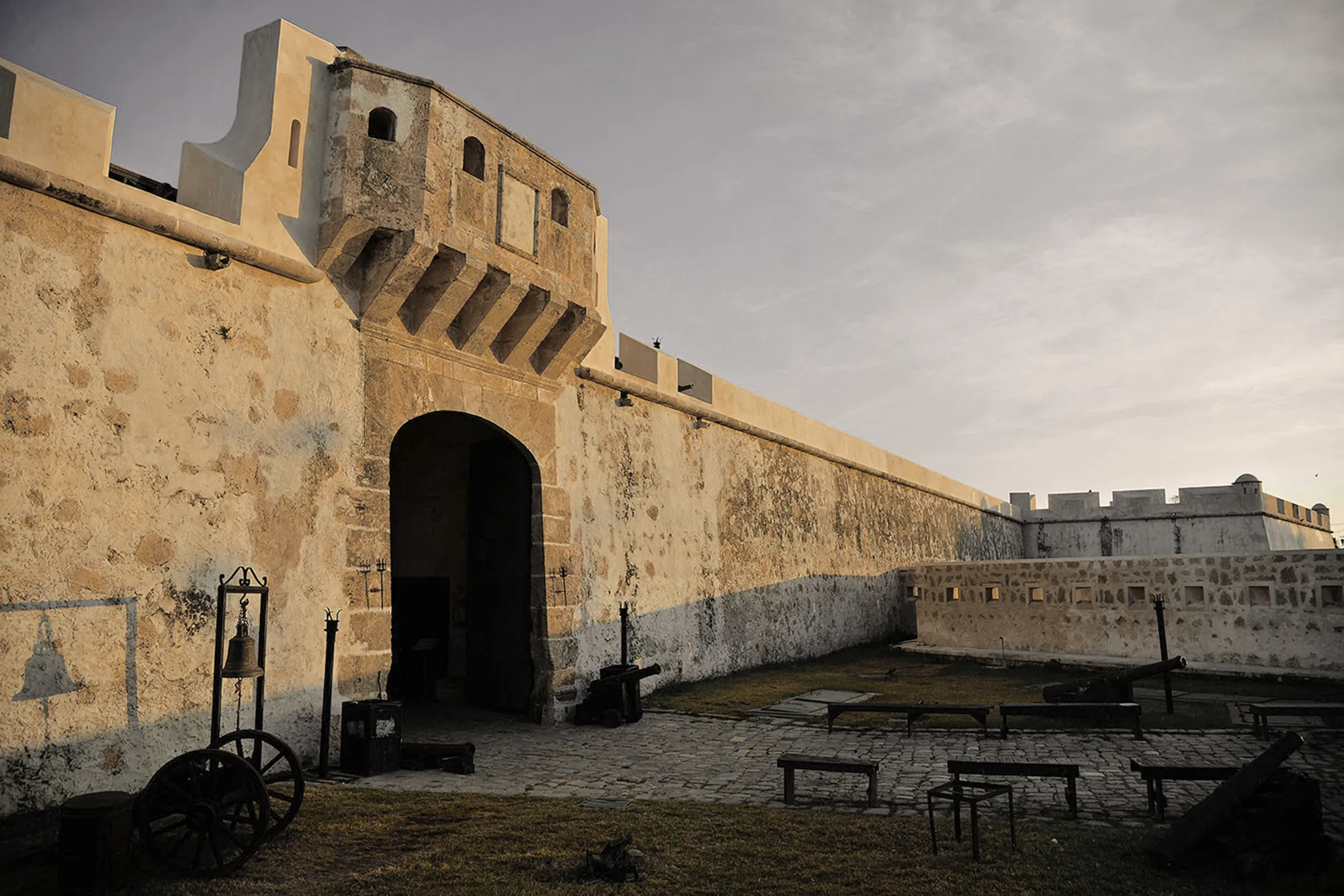
Of the eight original bastions, San Carlos, Santa Rosa, San Juan, San Francisco, San Pedro, San José, Santiago and Nuestra Señora de la Soledad, seven survive. San José vanished in the demolitions of the late nineteenth century, and today's Santiago is a reconstruction from the 1950s. What is remarkable is that none stands empty: each found a second life.
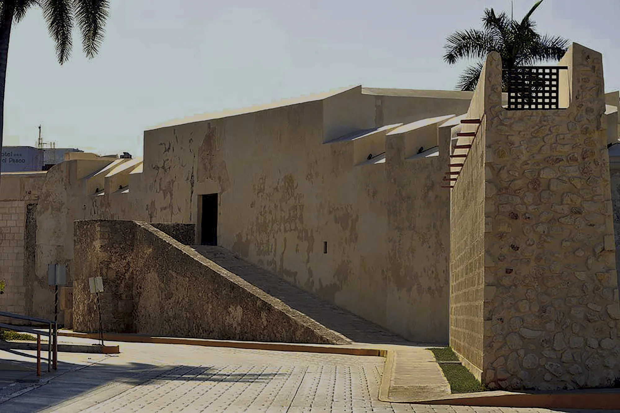
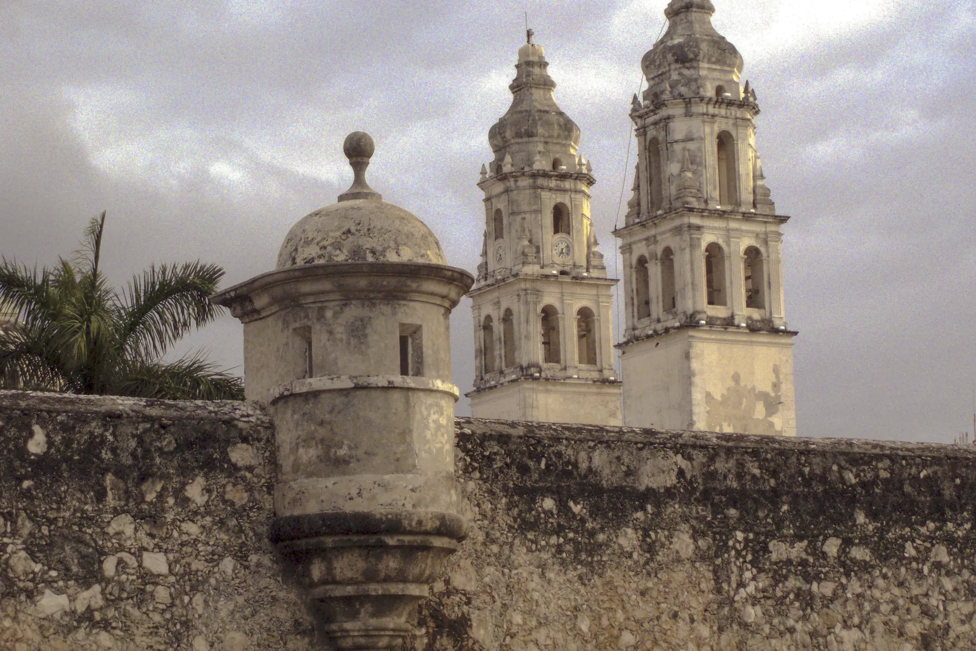
- Nuestra Señora de la Soledad. The largest of all, dedicated to the patroness of sailors and conceived as support for the Sea Gate. It houses the Museum of Maya Architecture, home to the jade mask of Calakmul, the state's greatest archaeological treasure, and its ramp climbs to one of the walkable wall sections with the cathedral in view.
- San Carlos. Named for Charles II, with a raised ramp entrance and a remarkable basement. It is the seat of the City Museum, the perfect introduction to the port's history.
- Santa Rosa. Under the patronage of the first saint of the Americas, it was among the earliest completed. Today it serves as an art gallery and exhibition hall.
- San Juan. Joined to the Land Gate by the best-preserved stretch of wall in the ensemble, the one that best embodies the values UNESCO recognized. It keeps its alarm bell.
- San Francisco. Defensive support for the Land Gate. It was partially demolished in 1889 to make way for the tramway and later restored; an auditorium now operates inside.
- San Pedro. Pentagonal in plan, like every bastion of the enclosure, with the papal tiara carved above its entrance and sentry boxes on the roof. It hosts exhibitions and sells Campeche handcrafts.
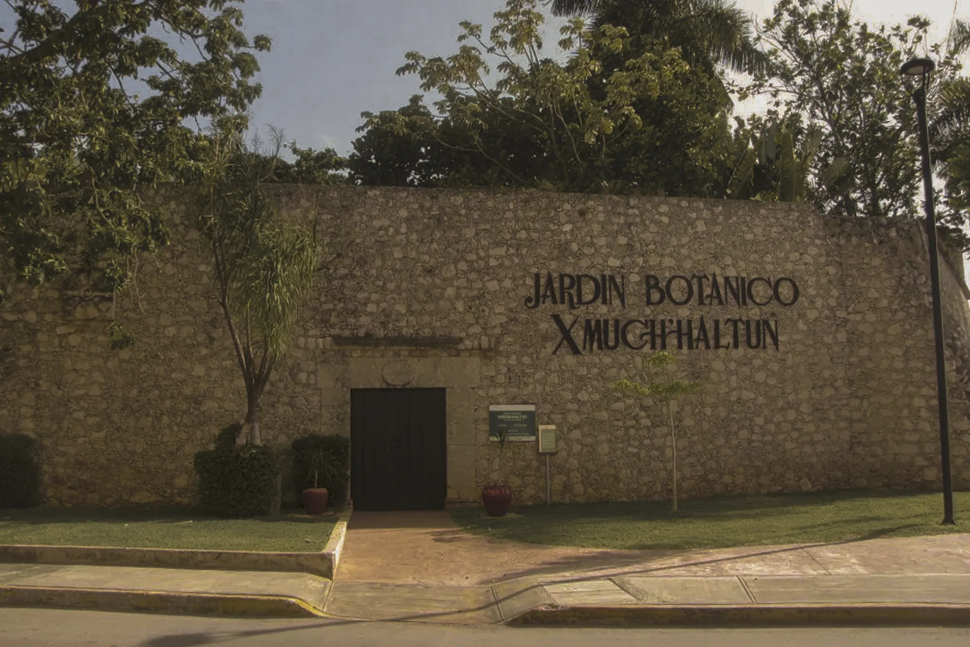
- Santiago. The one that closed the hexagon in 1704. The present building is a mid-twentieth-century reconstruction and shelters the Xmuch'haltún botanical garden, "cluster of stone water basins" in Maya, with more than 150 species of regional flora.
The gates: Land and Sea
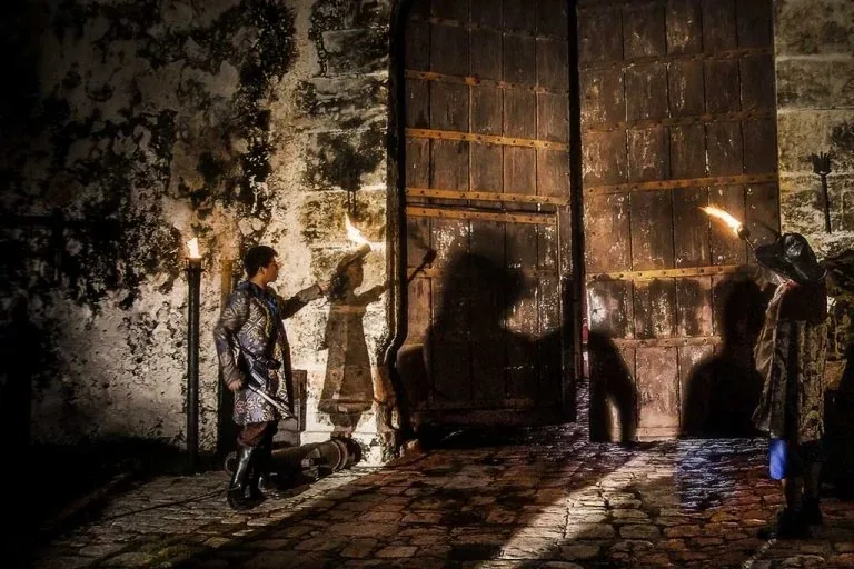
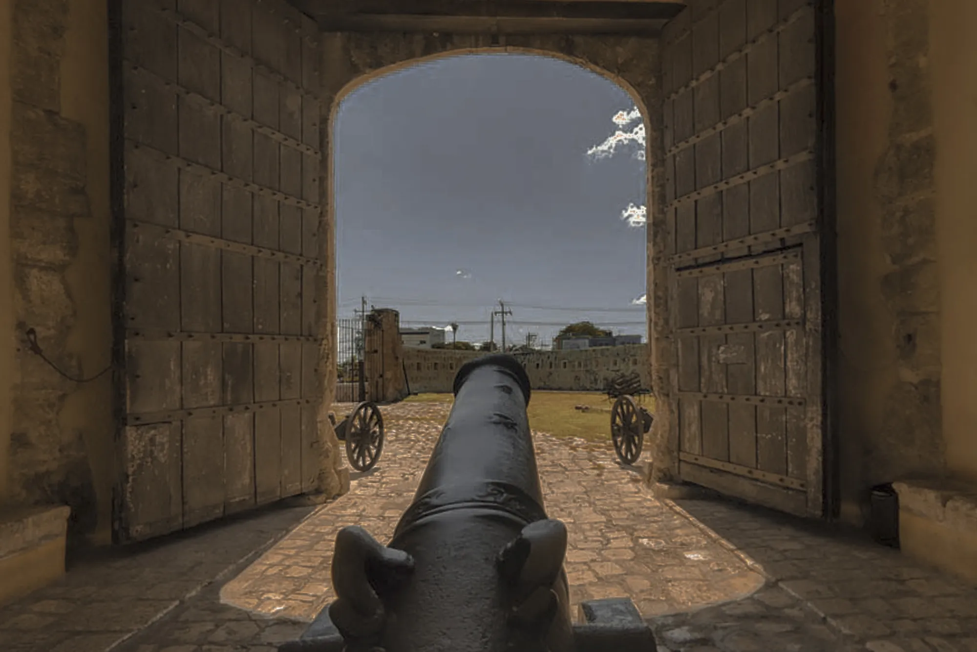
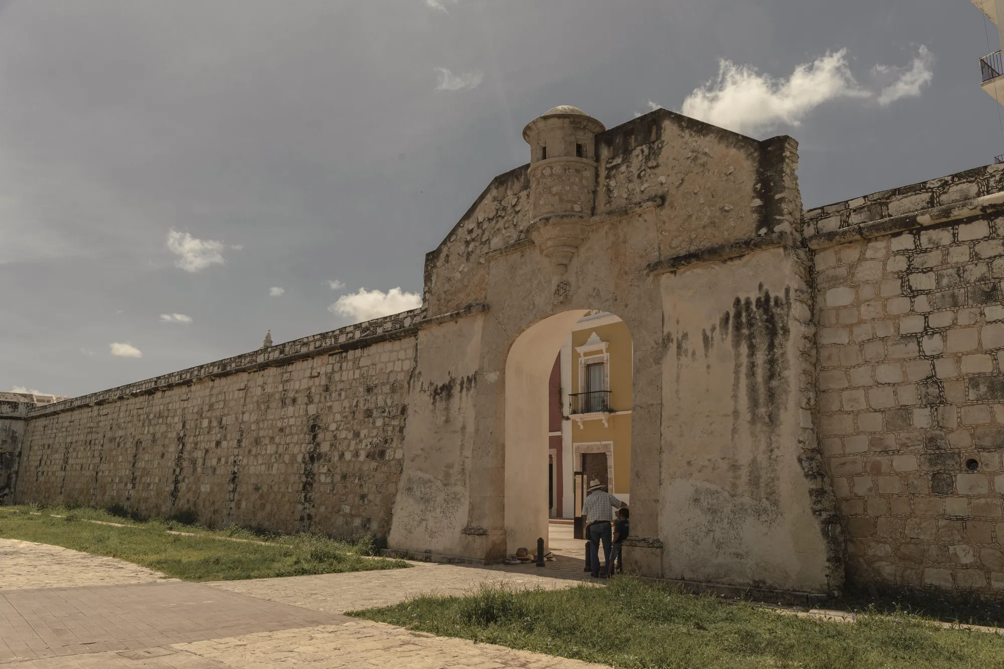
Of the four original entrances, only the Land Gate reached our days intact. Opened in 1732 on the orders of Governor Antonio de Figueroa as the formal exit to the royal road leading to Mérida, it crowns the axis of Calle 59, the same street that begins at the Sea Gate. It is a lesson in defensive engineering in miniature: moat, ravelin, bridge and, above the opening, the machicolation from which fire grenades were dropped on anyone who got close, the only works of this kind ever completed in the enclosure. Today it is the starting point of the wall-top walkway and the stage for a night light-and-sound show presented several evenings a week.
The Sea Gate met another fate. The demolitions that began in 1893, when the city wanted to open itself to the sea and the tramway, took it down along with the bastion of San José and the Guadalupe and San Román gates. The gate you cross today on the way to the malecón is a 1957 reconstruction, rejoined to its stretch of wall in 1997. Far from diminishing it, that history makes it more eloquent: Campeche demolished its walls in the name of progress and rebuilt them in the name of memory.
| Year | Event |
|---|---|
| 1663 | The corsair Mansvelt sacks the town of San Francisco de Campeche |
| 1685 | The attack by Laurens de Graaf, Lorencillo, leaves the city devastated |
| 1686 | On January 3 the first foundations of the wall are laid |
| 1704 | Jaime Franck closes the hexagon with the bastion of Santiago |
| 1732 | The Land Gate opens, the only one preserved in its original form |
| 1893 | Demolitions begin to open the city to the sea |
| 1957 | The Sea Gate is rebuilt, rejoined to its wall section in 1997 |
| 1999 | UNESCO inscribes the Historic Fortified Town of Campeche on the World Heritage List |
How to walk the walls today
The best way to understand the hexagon is to walk it the way its defenders did. Three ideas to shape the visit:
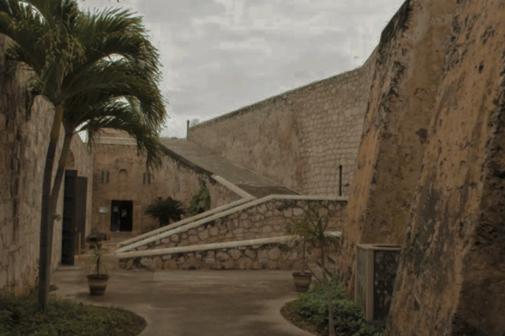
- Start at the Land Gate at sunset. Climb the walkway along the stretch that joins it to the bastion of San Juan, the best-preserved section, when the stone takes on the color of the low sun. Check the ticket office for walkway and night-show schedules, which change by season.
- Follow the Circuito Baluartes. The avenue ringing the center traces the exact perimeter of the hexagon: walking it means walking the footprint of the wall, linking all seven bastions without missing one.
- Finish at La Soledad and the Sea Gate. The museum, the ramp, the wall section with its cathedral view and the exit toward the malecón for sunset over the Gulf make the natural end of the route.
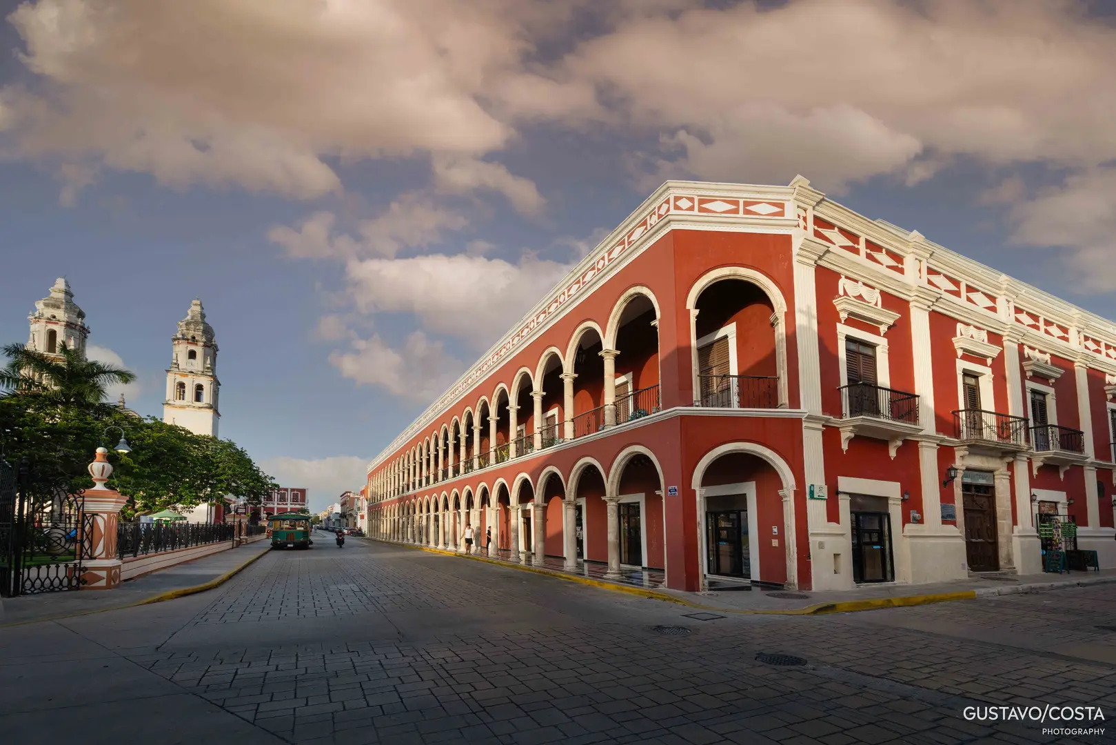
For the full context of the enclosure, streets and squares included, our walled city guide lays out the itinerary block by block, and the guide to Campeche's museums details what the bastions and hilltop forts hold.
Sleep inside the hexagon, in a restored heritage house steps from the bastions.
View the collection →Where to stay: sleeping inside the hexagon
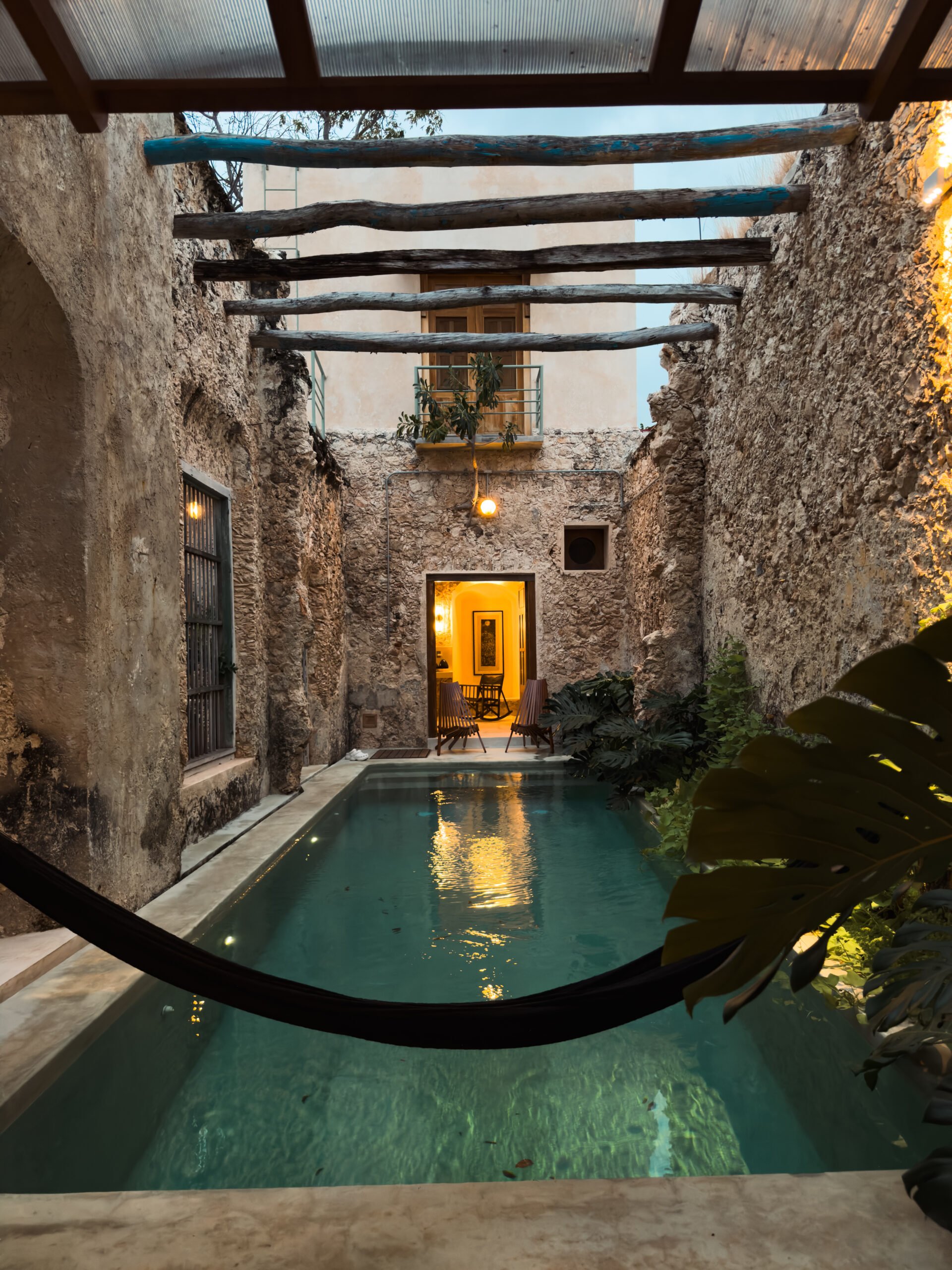
The wall is never fully understood until it is lived from within: stepping out to walk when the tour buses have gone, crossing the illuminated Land Gate on the way home, having breakfast in a courtyard that existed when the cannons still pointed at the sea. The restored houses of our collection sit inside the walled enclosure; one of them, Casa Muralla, carries the fortification in its very name and preserves original stone walls. In staying inside the historic walls we explain why that location transforms the trip, and the broader picture of the city completes the context.
Frequently asked questions
Who built the walls of Campeche and when?
The Spanish Crown raised them between 1686 and 1704, after the pirate sackings of 1663 and 1685. The proposal came from Captain General Antonio de Layseca y Alvarado, on the model of Cartagena de Indias, and military engineer Jaime Franck closed the hexagon with the bastion of Santiago.
How many bastions survive in Campeche?
Seven of the original eight: La Soledad, San Carlos, Santa Rosa, San Juan, San Francisco, San Pedro and Santiago, the last one rebuilt in the mid-twentieth century. The bastion of San José disappeared in the demolitions of the late nineteenth century.
Can you walk on the walls of Campeche?
Yes. The longest and best-preserved section joins the Land Gate to the bastion of San Juan and has a walkway; from the Bastion of La Soledad a ramp climbs to another section with cathedral views. Hours and fees change by season, so it is worth confirming at the ticket office.
What is the other walled city of Mexico?
Veracruz. Its enclosure of nine bastions protected the landing point of the Spanish fleet, but it was demolished almost entirely in the late nineteenth century and only the Bastion of Santiago survives. That is why Campeche is today the only Mexican city that preserves its walled enclosure in recognizable, walkable form.
Why is Campeche a UNESCO World Heritage city?
UNESCO inscribed the Historic Fortified Town of Campeche in 1999 as an outstanding example of the military architecture of the Caribbean's colonial ports, a model of fortified Baroque town planning that preserves its street grid, its walls and more than sixteen hundred cataloged historic facades.
In the end, the best lesson of Campeche's walls lies not in their dates but in their destiny: the city that raised them out of fear ended up keeping them out of love. Walk them slowly, bastion by bastion, and you will understand why here the stone divides nothing: it embraces everything.
Reviewed and verified in July 2026 by the Casonas MX editorial team in Campeche, drawing on INAH, the Campeche City Council and the Organization of World Heritage Cities. The enclosure's measurements vary slightly by source and are given as approximations; venue hours and fees change by season. We restore and inhabit heritage houses inside the walled city.
Planning your trip? Write to us on WhatsApp and we will send you Campeche in 72 Hours, our pocket guide, free of charge.
Receive the guide on WhatsApp →